Places to see
Nature
Mountains, lagoons and wild trails.
90 places in 19 towns
Explore by town
Where to find nature
Select a town on the map to see only its places. Bigger dots have more places.
All nature
Showing 24 of 90
-
Algar Seco
Carvoeiro
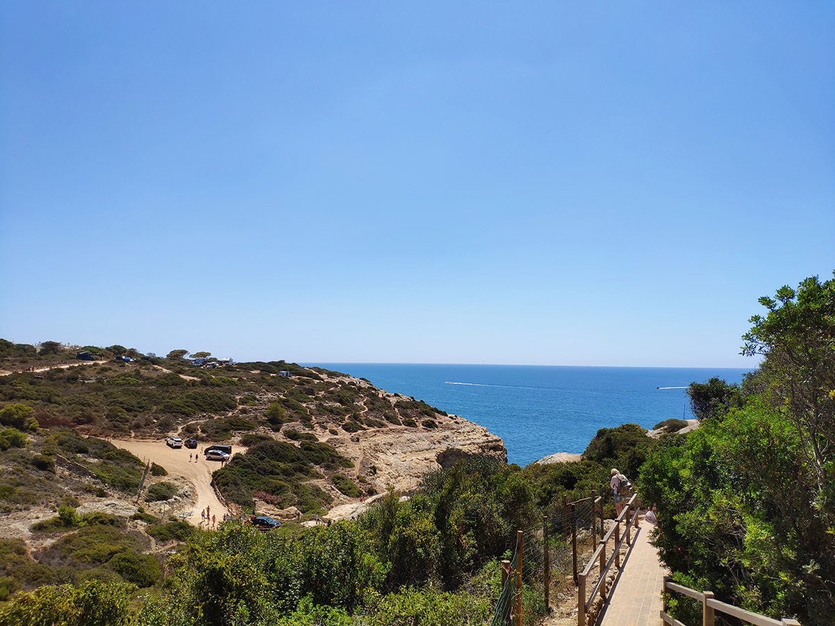
Rock formations, sea arches and a blowhole on the cliffs east of Carvoeiro. The clifftop boardwalk starts at the small fort of Nossa Senhora da Encarnação and reaches the rocks in about 750 metres from the centre of Carvoeiro. Keep to the paths; the cliff edges are unstable.
Photo: Manuel Alende Maceira, CC BY 2.0 (Wikimedia Commons)
-
Alte Waterfall
Loulé
Waterfall in Algarve, Portugal.
Photo: Magikknox, CC BY-SA 3.0 (Wikimedia Commons)
-
Barreta Island
Faro
Island in Portugal.
Photo: No machine-readable author provided. OsvaldoGago assumed (based on copyright claims)., CC BY-SA 3.0 (Wikimedia Commons)
-
Benagil Cave
Ferragudo
Benagil is a small Portuguese village on the Atlantic coast in the municipality of Lagoa, Algarve, in Portugal.
-
Cabo Carvoeiro
Carvoeiro
Cape in Faro District, Portugal.
Photo: This illustration was made by Rašo. An email to Rašo would be appreciated too., CC BY-SA 3.0 (Wikimedia Commons)
-
Cabo de Santa Maria
Faro
Southernmost point of mainland Portugal.
Photo: No machine-readable author provided. OsvaldoGago assumed (based on copyright claims)., CC BY-SA 3.0 (Wikimedia Commons)
-
Carvalho beach Carvoeiro
Ferragudo
Here, an angular cut in the coastline shelters a small, welcoming bay lined by deeply-eroded ochre rock walls. A huge, scenic rocky ledge marks the central line of the beach, dividing the horizon. The cliffs remain high along the entire len
-
Culatra Island
Olhão
Island.
Photo: No machine-readable author provided. OsvaldoGago assumed (based on copyright claims)., CC BY-SA 3.0 (Wikimedia Commons)
-
Fóia
Monchique
At 902 metres, the highest point in the Algarve, in the Serra de Monchique. A paved road reaches the summit, which has telecommunication masts and an air force radar station. On a clear day the Atlantic is visible from the top.
Photo: Alchemist-hp (talk), restitched by Dschwen, FAL (Wikimedia Commons)
-
Ilha de Cabanas
Tavira
Island near Tavira.
Photo: Vitor Oliveira from Torres Vedras, PORTUGAL, CC BY-SA 2.0 (Wikimedia Commons)
-
Jardim Municipal Alameda de João de Deus
Faro
Garden near Faro.
Photo: Benoît Prieur, CC0 (Wikimedia Commons)
-
Pego do inferno waterfall Tavira
Tavira
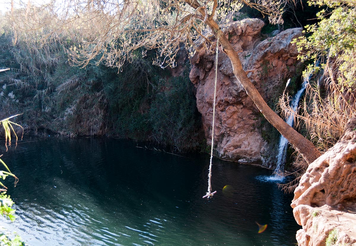
It was known among locals as the “secret waterfall”. Now known as Pego do Inferno (Hell’s Pool/Pit of hell) due to a popular local legend about the site about a carriage that fell into the lake and was never found. It was said that anyone w
-
Ponta da Piedade
Lagos
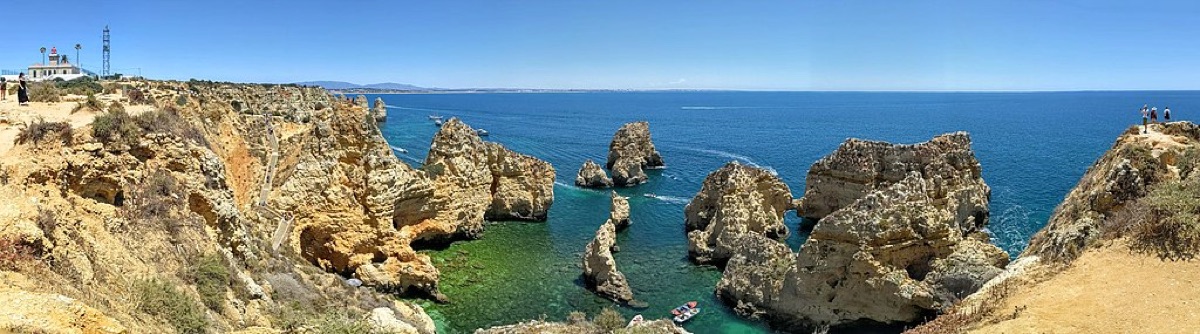
Ponta da Piedade (Portuguese for “point of mercy”) is a group of rock formations along the coastline of the town of Lagos, in the Portugueseregion of the Algarve. Consisting of yellow-golden clifflike rocks up to 20 meters high, they are on
-
Ponta de Sagres e Cabo de São Vicente
Sagres
Cape near Sagres.
Photo: Ricardo Oliveira, CC BY-SA 3.0 (Wikimedia Commons)
-
Ria Formosa Natural Park
Faro
A lagoon sheltered by barrier islands and sandbanks, protected as a natural park and a Ramsar wetland. It is an important stopping point for migrating birds in spring and autumn. Boats to the islands leave from Faro and Olhão; check the routes and seasons before you go.
Photo: Unknown author, CC BY-SA 2.0 (Wikimedia Commons)
-
Ria Formosa Nature Park
Tavira
Protected area in Portugal.
Photo: Natalia, CC BY 2.0 (Wikimedia Commons)
-
Área Protegida Privada Vale das Amoreiras
Aljezur
Nature reserve near Aljezur.
© OpenStreetMap contributors (ODbL)